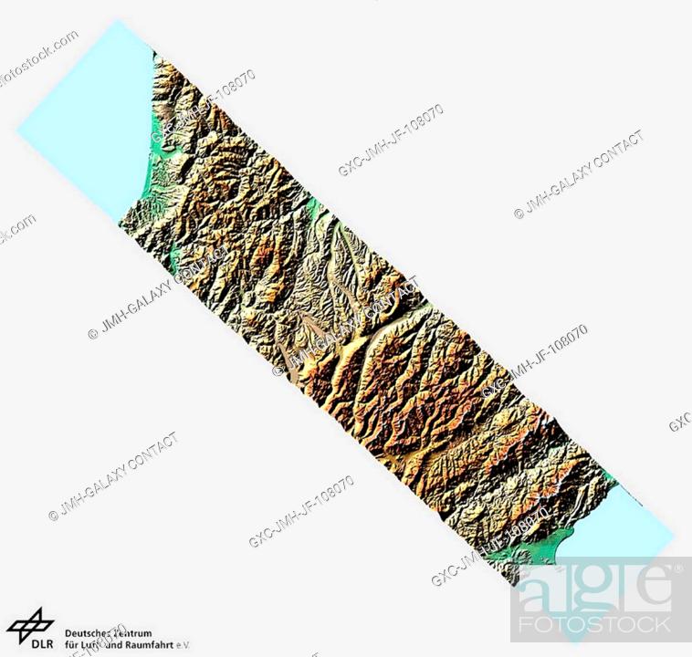
Stock Photo - New Zealand's South Island is crossed from Karamea Bight in the northwest down to the Kaikoura Peninsula in the southeast. Along this short 175-kilometer length, a huge range of geological, climatic, and vegetation changes is covered. The swath runs across the northern part of the South Island over country with very few roads and even fewer people, except near the coastal areas. On the western side of the Tasman Mountains clouds pile up; there is heavy rainfall and thus, forests extend almost to the crests of the ranges. East of the mountains are semi-arid grasslands, and the valleys of inland Marlborough are some of New Zealand's driest environment. To the east the mountains of Kaikoura Range reach up to 2900 meters (~8800 ft) and then slope steeply down from 2600 meters (7900 feet) down to sea level. Data and information for the New Zealand material was provided by Stephen McNeill and Dr. Stella Bellis, Landcare Research, New Zealand. All X-SAR imagery and related charts and maps are coordinated andor provided by DLR, Germany's national aerospace resource center as well as the national space agency.

Stock Photo: New Zealand's South Island is crossed from Karamea Bight in the northwest down to the Kaikoura Peninsula in the southeast.

Searchable keywords

Choose multiple keywords