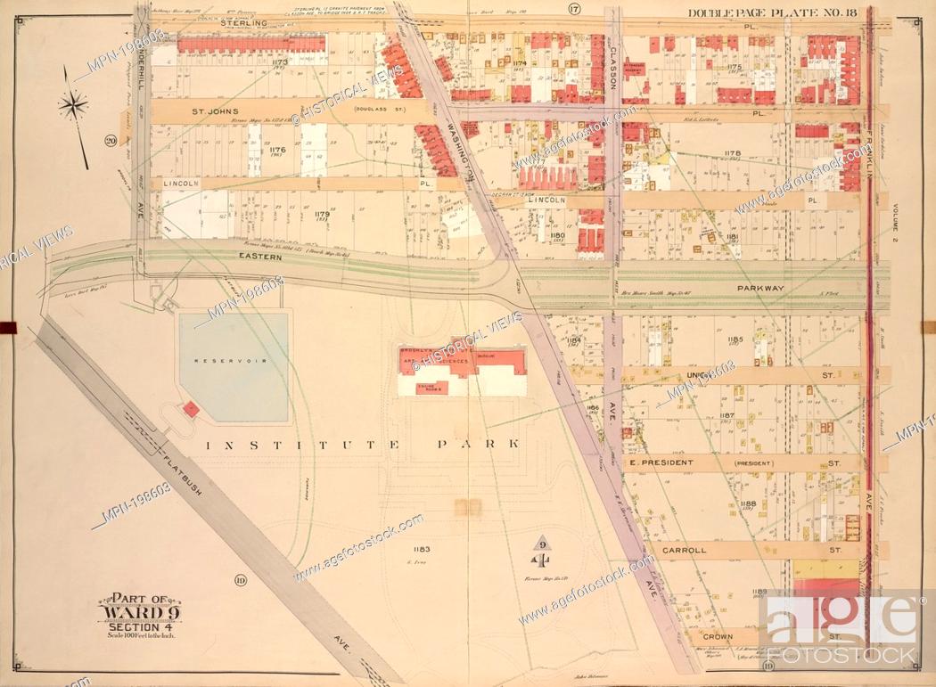
Stock Photo - Brooklyn, Vol. 1, Double Page Plate No. 18; Part of Ward 9, Section 4; [Map bounded by Sterling PL., Franklin Ave., Crown St., Washington Ave.; Including Flatbush Ave., Eastern Parkway, Underhill Ave.]. E. Belcher Hyde Map Company (Publisher) E.B. Hyde & Co. (Author) Ullitz, Hugo (Engineer). Atlases of New York City Brooklyn Atlas of the borough of Brooklyn, City of New York : the first twenty eight wards complete in four volumes . : newly constructed and based upon official maps and plans on file in the municipal building and registers office (Hall of Records) supplemented . [1907-1912] Wards 1, 2, 3, 4, 5, 6, 8, 9, 10, 12 & 22. Place: Brooklyn Publisher: E. Belcher Hyde Date Issued: 1903. Brooklyn (New York, N.Y.) - Maps Real property - New York (State) - New York. Maps.

Stock Photo: Brooklyn, Vol. 1, Double Page Plate No. 18; Part of Ward 9, Section 4; [Map bounded by Sterling PL., Franklin Ave., Crown St., Washington Ave.

Searchable keywords

  • 1
  • 10
  • 12
  • 18
  • 1903
  • 1907
  • 1912
  • 1St
  • 22
  • 28
  • 4
  • 9
  • Altehage
  • Atlas
  • Atlases
  • Ave
  • B
  • Based
  • Belcher
  • Borough
  • Bounded
  • Brooklyn
  • Building
  • City
  • Co-Author
  • Company
  • Complete
  • Construct
  • Crown
  • Date
  • Dating
  • Double
  • Double Page Plate
  • Eastern
  • Eight
  • Engineer
  • File
  • Five
  • Flatbush
  • Franklin
  • Hall
  • Higginson
  • Historic
  • History
  • Hugo
  • Hyde
  • Include
  • Issue
  • Knittel
  • Map
  • Municipal
  • New York
  • New York City
  • Newly
  • Office
  • Official
  • One
  • Page
  • Parkway
  • Part Of
  • Pl
  • Place
  • Plan
  • Plate
  • Plate No
  • Publisher
  • Real Estate
  • Record
  • Register
  • Section
  • Six
  • Slave
  • St
  • State
  • Sterling
  • Supplement
  • Three
  • Two
  • Ullitz
  • Underhill
  • Vol
  • Volume
  • Ward
  • Wards
  • Washington
Choose multiple keywords