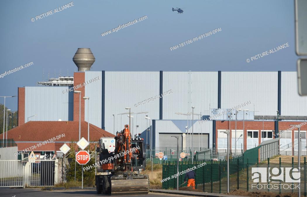
Stock Photo - 06 November 2018, Mecklenburg-Western Pomerania, Lubmin: A specially equipped helicopter of the Federal Police flies over the and the Interim Storage North. The Federal Office for Radiation Protection uses helicopters to measure the radioactive radiation emitted from the Lubmin nuclear site. Helicopters of the Federal Police equipped with highly sensitive measurement technology fly over the area with the decommissioned nuclear power plant and the interim storage facility North in an east-west and north-south direction in 100-metre orbits to map the area radiologically. 15 nuclear facilities in Germany have already been mapped in this way since 2011. (to dpa ""The nuclear power plant Lubmin in sight - Heli measures radioactive radiation"" from 06.11.2018) Photo: Stefan Sauer/dpa. - Lubmin/Mecklenburg-Western Pomerania/Germany

Stock Photo: 06 November 2018, Mecklenburg-Western Pomerania, Lubmin: A specially equipped helicopter of the Federal Police flies over the and the Interim Storage North.

Searchable keywords

  • Flying Over
  • Protection
  • Sensitive
  • Office
  • Technology
  • Radiation
  • Direction
  • Flying
  • Politics
  • Emergency
  • Police
  • Nuclear
  • Site
  • Storage
  • Emit
  • Photo
  • Sight
  • Measure
  • Measurement
  • Use
  • Map
  • West
  • Area
  • 11
  • North
  • South
  • East
  • Helicopter
  • Facility
  • November
  • Already
  • Equip
  • 15
  • Federal
  • Orbit
  • Radioactive
  • Copter
  • Highly
  • Interim
  • Decommission
  • Since
  • Specially
  • 2018
  • Heli
  • 2011
  • 100 Metres
  • German Democratic Republic
  • Mecklenburg-Western Pomerania
  • Nuclear Power Plant
  • This Way
  • Lmv
  • Lubmin
  • Been
  • Dpa
  • Stefan Sauer
  • Mbv
Choose multiple keywords