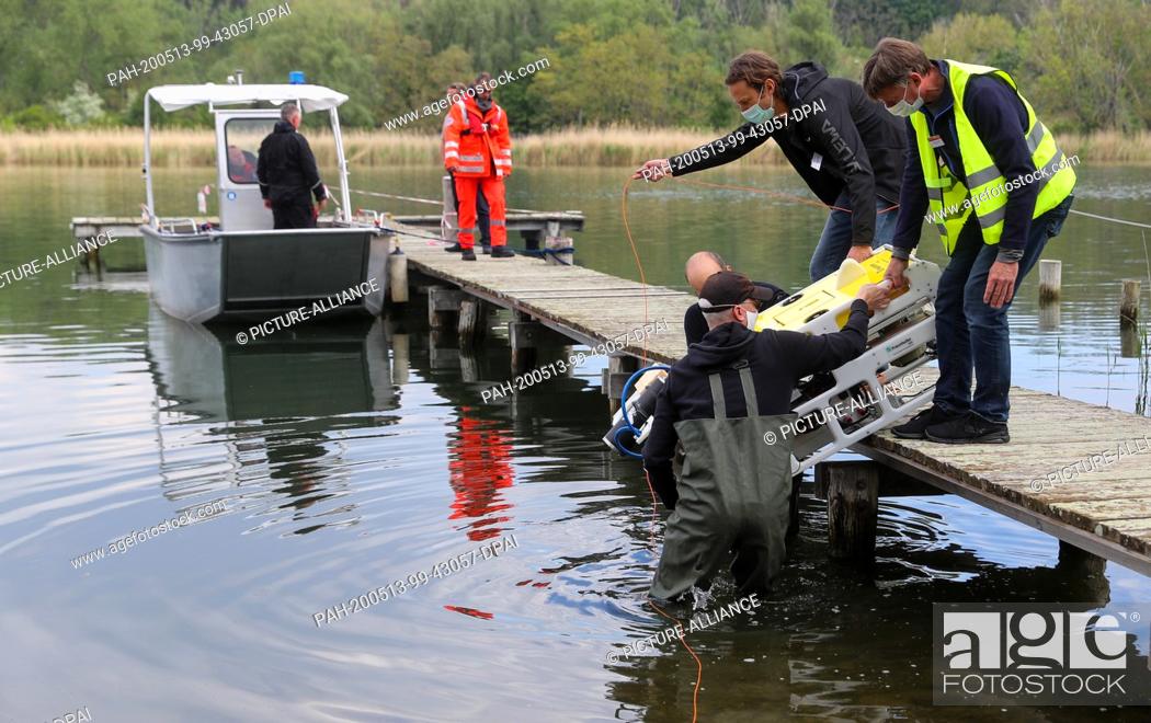
Photo de stock - 13 May 2020, Saxony-Anhalt, Seegebiet Mansfelder Land: Members of a research group lift a diving robot with a high-resolution 3D laser into the sweet lake. With this new technique, a more than 3000 year old Bronze Age tomb and the remains of a medieval settlement are being surveyed at the lake's bottom. The technology is being used for the first time in Germany. With the new device not only individual buildings but complete structures can be recorded. The laser measures under water with millimetre precision and generates spatial images. In the last two years, archaeologists from the State Museum in Halle had explored the lake bed with an underwater drone and discovered the structures. The conventional method with divers fails due to the poor visibility conditions in the lake. Photo: Jan Woitas/dpa-Zentralbild/dpa. - Seegebiet Mansfelder Land/Saxony-Anhalt/Germany

Photo de stock: 13 May 2020, Saxony-Anhalt, Seegebiet Mansfelder Land: Members of a research group lift a diving robot with a high-resolution 3D laser into the sweet lake.

Mots-clés utilisés

  • Plonger
  • Lac
  • Groupe
  • Nouveau
  • État
  • Précision
  • Technologie
  • Sous L'eau
  • Submergé
  • Archéologie
  • Bâtiment
  • Art
  • Médieval
  • Tombe
  • Allemagne
  • Sucré
  • Recherche
  • Lift
  • Fond
  • Plongeur
  • Photo
  • Mesure
  • Image
  • Année
  • Reste
  • Culture
  • Structure
  • Robot
  • Musée
  • Découvrir
  • Individu
  • Pays
  • Divertissement
  • Plus
  • Laser
  • Deux
  • Being
  • Complet
  • Dispositif
  • Note Éliminatoire
  • Conventionnel
  • Utilisé
  • Méthode
  • Condition
  • Prospection
  • Membres
  • Produire
  • Etablissements Humains
  • Technique
  • Jan
  • Spatiale
  • Exploré
  • Millimètre
  • Enregistré
  • Archéologue
  • Age De Bronze
  • Halle
  • 3-D
  • Première Fois
  • Lake Bed
  • Saxe-Anhalt
  • Angela Merkel
  • Haute Résolution
  • Faible Visibilité
  • Seegebiet
  • Had
  • Dpa
  • Mansfelder
  • Drone
  • More
  • Seimann
Choisir des mots clés multiples