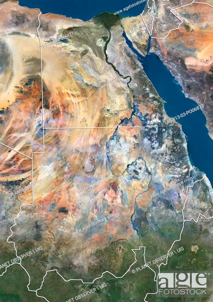
Photo de stock - Satellite view of Egypt and Sudan (with country boundaries). The image shows the disputed borders refered to as Bir Tawil Triangle and Hala'ib Triangle. This image was compiled from data acquired in 2014 by Landsat 8 satellite.

Photo de stock: Satellite view of Egypt and Sudan (with country boundaries). The image shows the disputed borders refered to as Bir Tawil Triangle and Hala'ib Triangle.

Mots-clés utilisés

Choisir des mots clés multiples