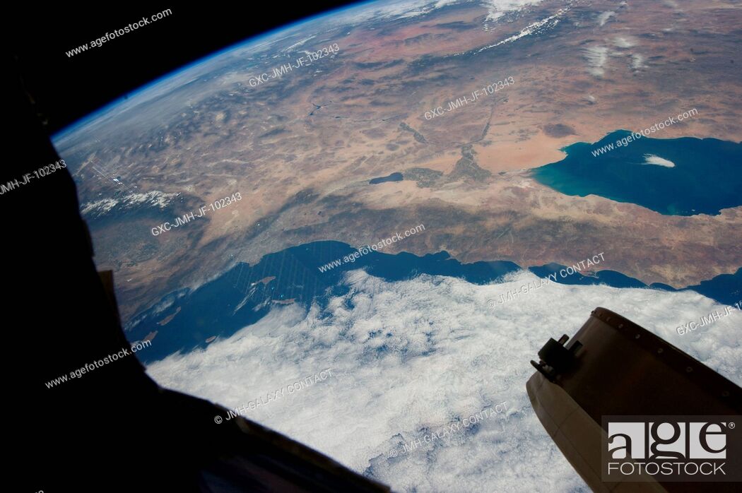
Stock Photo - This oblique Expedition 35 image from the International Space Station shows parts of Mexico, California and Nevada. The Los Angeles Basin can be easily delineated at left center. If the nomenclature for the body of water in the upper right quadrant of the image were the subject of a trivia question, the answer might be all the above, as it is recognized by a number of names. They include the Gulf of California, Sea of Cortez, Sea of Cortés, Vermilion Sea as well as its local designations in the Spanish language as Mar de Cortés or Mar Bermejo or Golfo de California. It serves to separate the Baja California Peninsula from the Mexican mainland. It is bordered by the states of Baja California, Baja California Sur, Sonora, and Sinaloa (some of which are out of the frame) with a coastline of approximately 4,000 kilometers (2,500 miles). Rivers which flow into the Gulf of California include the Colorado, Fuerte, Mayo, Sinaloa, Sonora and the Yaqui. The gulf's surface area is about 160,000 square kilometers (62,000 square miles). A mass of clouds sits just off the Pacific coast of Baja California and southern California.

Stock Photo: This oblique Expedition 35 image from the International Space Station shows parts of Mexico, California and Nevada. The Los Angeles Basin can be easily.

Searchable keywords

Choose multiple keywords